Showing posts with label fire. Show all posts

Tuesday, January 14, 2020

Low Visibility

Can you see the wind farm?

Very smoky today. Would have liked to stay inside, but I had to be out and about. Now I am home and have a headache and sore throat.

Friday, December 20, 2019

Not Fun

Today was our first Total Fire Ban, and first day of Severe fire danger of the summer. So many parts of the country are burning already, but until now our weather has been relatively mild. Today's top was forecast to be over 40 (it got to 41.9), so it was a day of being prepared, and watching the Emergency website.

"Go bags" ready to go:

I spent the morning in my sewing room, doing some quilting. Around the middle of the day I was thinking to myself, no emergencies yet, maybe everything will be OK. And just as I thought that, my phone started alerting me to a fire right on the southern edge of my "watch zone", at Meredith:


Initially it was a hay shed on fire:
And up to 16 fire vehicles were involved in trying to stop it spreading:
I'm not sure what happened, whether a spark from this fire ignited another, or a separate fire began to the west of this one (and if so, did someone deliberately light both of them?) but somehow a grass fire broke out. In the map below, from several hours later, the hay shed fire is in the small yellow area at the top, and the grass fire is the black section in the orange area. The red area is the area potentially at risk from the fire by then:

Because the wind was from the north, there was no danger of it coming towards us, at least until the expected cool change this evening. The evening was spent watching the "Victorian Observations" weather page to see where the wind change had reached, and the Emergency page to see what was happening with this fire. And I forgot to take any more screen shots. Up to 66 vehicles were working on this fire, trying to get it under control before the wind change. The whole map to the right of the fire became a warning area, as once the wind changed the fire could change from being a narrow front heading south east, to a very wide fire front heading north east. We love our cool changes, but they can be very dangerous when fires are burning.


Post Script:
Two days later, this fire is under control, and firefighters are working on hot spots and trying to ensure it stays under control. Across the state there are much worse fires still burning out of control, and the news of fires in other parts of the country is all bad.

Saturday, August 10, 2019

Candles and Flames

Rhubarb and ginger cake I made this morning:
I've made this before, although not in this oven or this shaped pan, so I was a bit nervous about how it would turn out. It turned out fine, and as yummy as before.

If you would like to give it a go yourself, the recipe is from here:
https://www.riverford.co.uk/recipes/view/recipe/rhubarb-ginger-cake
However, due to ingredient availability I made the following changes to the recipe:
I used 200g self-raising flour instead of the flours and bi-carb that they use.
I used golden syrup instead of treacle.
I used dark brown sugar instead of muscovado sugar - and I didn't have 110g of it, so it was only about 80g.
Plus I had 4 sticks of rhubarb which only weighed 250g, rather than the 340g in the recipe.
And because this oven is fan-forced, I initially set it at 170, and then during cooking I dropped it to 165 and then 160 because it looked like the outside was cooking too quickly.
But apart from all that, I did follow the recipe!

Then I had to carry it up the hill during a break in the rain, for a special birthday lunch with the neighbours.

Blowing out the candles:


Later in the afternoon we started to get emergency alarms about a fire in Lal Lal:

That was a bit surprising given the almost non-stop rain we've had for the last couple of days. We couldn't tell from the map which building was on fire, so we popped down to have a look. It was the demolition yard, which we have visited a few times but which I seem to have only shown on my blog when we were looking for gates. We couldn't get close due to the number of firetrucks blocking the roads, so here's a couple of screen-shots from the Ballarat Courier story about the fire:

It will be interesting to hear what they decide caused the blaze.


Tuesday, April 16, 2019

Lambley and a Fire

Last Thursday my GPS kicked the bucket. I got a new one yesterday, and today wanted to go for a drive somewhere to check it out. I decided Lambley nursery would be a nice spot to visit. The gardens there are always a treat, and we wanted to buy some of their vegetable seeds after attending a talk on vegetable-growing by David Glenn (the owner of Lambley) a couple of weeks ago.

It was a very bright sunny day, (and much hotter than you might expect at this time of year) which is not ideal for photography, but here are a few views around the gardens:


And in the nursery:
Sun-loving plants in the foreground, and shade lovers behind.

On the way home we could see a lot of smoke from a fire which turned out to be quite close to my parents' retirement village. I was almost home when I received a call from Mum's home care co-ordinator telling me that the village had been evacuated to Buninyong. I rang the village's main number to confirm exactly where people had been taken, and was given the address of the recreation centre which was being used as the fire relief centre.

I was relieved to think that the village had an emergency evacuation plan, and that my parents were somewhere well away from the fire.

Back in the car and off to Buninyong, where I found that there was no sign of my parents, or of the village bus. There were a number of elderly people there, and various cats and dogs in boxes and on leads. There were people handing out cups of tea and coffee. There were fire officials and police, but no-one knew where my parents might be. Eventually I was directed to someone who was the representative of the company which runs the retirement village, but she also had no idea where my parents might be. She made a phone call, and eventually I discovered that my parents were out on the street in front of the village.

Here is a news article about the fire in The Age. They don't mention in that story that a big part of the "massive amount of evacuations" was a retirement village. Or that the evacuation involved moving immobile people out to the street and leaving them there for over three hours.

Basically anyone who could drive was told where the relief centre was, but those without cars were just told to get out of the village, then left to their own devices. The village bus, which I had imagined had taken such people to safety, was parked blocking the driveway to stop anyone entering the village. My parents don't use mobile phones, so couldn't ring anyone (me) to come and get them, or even tell me where they were.

I asked the village manager why people were just sitting out in the street, and he said that it was safer for them to be there than in their units, in case the fire turned towards the village. I can understand that, but I think it would have been even better for them to have been loaded into the bus and taken to the air-conditioned relief centre, with access to toilets and refreshments, and well out of danger.

Thursday, December 6, 2018

Fire

Around the middle of this afternoon we started getting phone alerts about a fire about 5 or 6km away, almost to the west of us. Initially there was one vehicle responding to a small fire, then a few more.  We couldn't see or smell any smoke, but we went up the hill to our neighbours' place, and from there the smoke was visible (between the trees):


About half an hour later a couple of helicopters flew over on their way to fight the fire:
We had a cuppa while we checked our phones and watched the number of vehicles responding to the fire climb to 27. Orange "Watch and Act" alerts, and then Red "Emergency" warnings, were declared for areas that kept growing.

This fire was unlikely to affect us directly, as the wind was pushing the fire south and no wind changes were forecast today. But it must have been very frightening for people who were burnt out in the Scotsburn fire 3 years ago, and were in the path of this one.

Screen shots from the Emergency website:

4:27pm:
 4:46pm:
 5:13pm:

The Emergency warning was lifted later this evening, but the whole area is still under a "Watch and Act" alert. The fire was declared "Under Control" at 10:50pm, which is a relief. But tomorrow will be another hot and windy day, so we hope that the firefighters still working can ensure that the fire stays under control!

Saturday, September 8, 2018

Narmbool Field Trip

Narmbool homestead.
Today we were lucky to have a day exploring the gardens and farmland of Narmbool. If you have been reading my blog for a while, you may remember the Scotsburn bushfire of December 2015, which came much too close for comfort. If you follow that link, Narmbool is in the black area of the emergency map I included. In fact the fire burnt right up to the rock retaining wall you can see in the middle of the photo above. Some details of the damage and aftermath can be seen here: Narmbool garden restoration.

Reverse view from the top of those stairs:


An espaliered pear tree on the oldest part of the homestead complex:

I loved these grass trees in their ball-shaped pots:

We need more hellebores in our garden:
 That's a sculpture behind the hellebores if you are wondering.

A large ornamental lake below the garden:
The gardens were open last November for the first time since the fire. I had wanted to visit then, and can't remember why I didn't get there. But visiting today in a group of about 15 was fantastic. Apparently the open day attracted over 1000 people.

There is an interesting overview of the history of the property here: Narmbool, including an outline of the property overlaid on the Emergency map of the Scotsburn fire, and details of the link to Wilson Hall at Melbourne Uni.

The large dam (with boathouse):
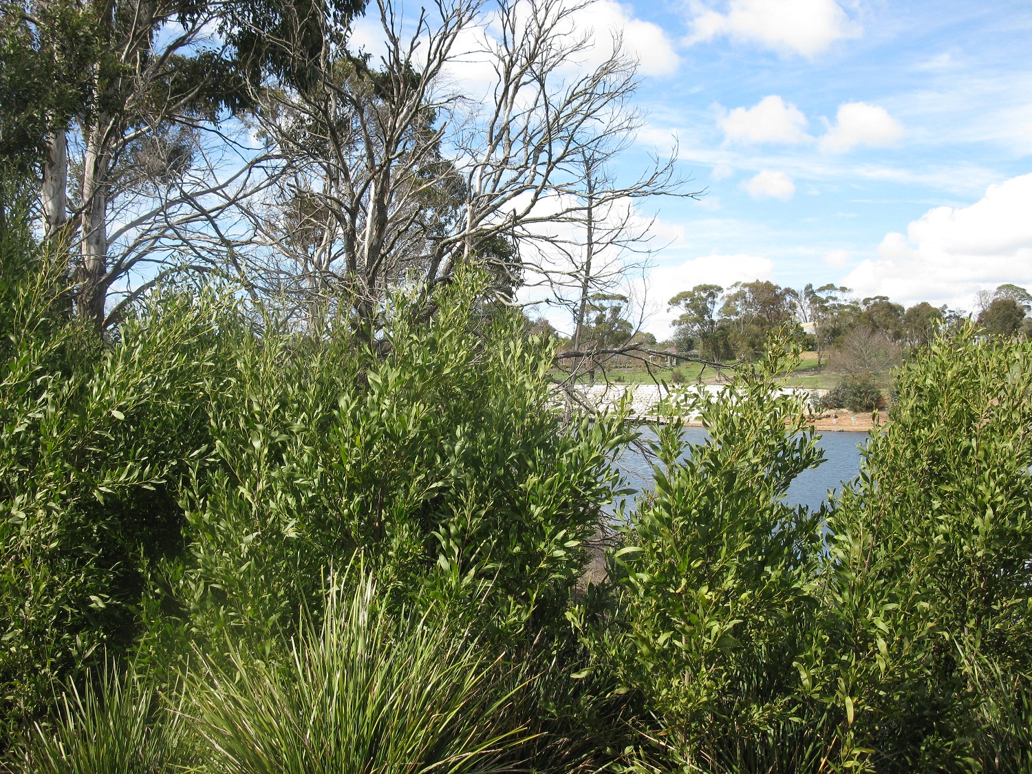
Those bare branches are not deciduous trees. They are eucalypts damaged and even killed by the fire.

A forest of blackwoods growing up since the fire:
Fire causes the seeds to germinate. When we grow them for the TreeProject, we pour boiling water over them instead.

A cute baby lamb in a dog coat:


How we paid for our exclusive tour:
Seedlings to plant out!

When you have enough people working on it, planting 180 trees doesn't take long at all:
Now we just need some rain to settle them all in.

Then we took a tour of some other parts of the property. Here's a forest of eucalypts growing up around their (mainly) dead parent trees:

Wedge-tailed eagle nest:
Hard to photograph, as it is a long way up, and the sun was almost behind it. But it's the dark lump in the middle of the photo. It is about a metre deep and 1.5 metres across. The eagles have been using it for the last couple of years. We saw both the eagles soaring high above, so perhaps they have finished incubating their eggs and there are young birds up in that nest?

Last stop was the education centre, where we had afternoon tea while admiring the view across to our two local (inactive) volcanoes:
Mt Buninyong on the left, and in the distance Mt Warrenheip.

What a fantastic day out!

Sunday, March 11, 2018

Dry

The weather bureau is predicting that we won't get any decent rain for another 6 weeks, which is a bit depressing as everything is so dry. It is hard to keep the garden going, but the danger from fires is increasing as everything dries out. The fire last Wednesday was apparently started by someone using an angle-grinder. Who knows what started this one?
Fire on Mt Buninyong, which was out of control for over an hour.

The mountain is about 12kms from here, and can't be seen from our place. But I went up the hill to the next-door neighbours' house to see what they could see:
Smoke on the mountain.

No-one would be using an angle-grinder on a walking track through a forest on a Sunday afternoon. Maybe a cigarette butt?


No fires here today:
After a week of firing to dry it out, the pizza oven today got its final coats of paint.


Wednesday, March 7, 2018

A Bit Close

This afternoon the emergency alert sounded on my phone. I couldn't believe it when it said there was a fire only a couple of kilometres away. That's a bit close!

When I first looked at the Emergency website, I think there were 3 vehicles responding, but it didn't take long for the number to grow:
In the screen shot above you can see that six vehicles were responding 14 minutes after the initial alert. Below, 11 vehicles only six minutes after that:

Meanwhile I was checking the wind radar to see how likely the fire was to move in our direction, and wondering if I needed to grab everything and leave. But there was almost no wind, so it seemed safe to stay at home for a while and keep an eye on it.

Graeme was actually driving near the site of the fire, so he stopped and captured this shot of a helicopter dumping water on the fire:
At about the time he took that picture the fire status changed to "Under Control" on the Emergency website, and then a couple of minutes later again it changed to "Safe". So the whole incident was over in only about 30 minutes. But in that time it had burnt out 2 or 3 paddocks; those in houses close by were very lucky there was no wind. Everything is incredibly dry at the moment. We need some decent rain, but there is none forecast in the next week, just hot dry days.

Wednesday, December 23, 2015

Black and Blue

A drive through some of the nearby fire-affected area this morning:
Black landscape, blue sky.

Monday, December 21, 2015

Fire Aftermath

This morning we walked to a spot not far from our place which has a view across some of the area affected by the bushfire on the weekend. It showed us just how close to home the fire came. The closest burnt areas are only 2 or 3 kilometres from us.

Burnt grass on the right, and burnt trees in the background. The owners of that house with the green roof up on the hill must be thanking the CFA today. The house is surrounded by burnt bush, but seems to be intact.  We know others were not so lucky. About 14 houses were destroyed by this fire.

Cows grazing beside burnt pasture, with lots of burnt bushland in the background.  Imagine what this view was like on Saturday.

Sunday, December 20, 2015

Waiting

Today we all waited.

Jack and Dot stretched out for a sleep on the stairs:
The weather changed in the early afternoon, bringing lots of rain, and not the fierce winds originally forecast. It was a more gentle, and very damp, change. So we waited for the restriction on returning home to be lifted.

At about 4:00pm, the warning was downgraded to Advice. Advice that the fire is still burning, but not spreading beyond the 4600 hectares already burnt. It is not a current threat to nearby communities. So we packed up the cars, and headed towards Lal Lal. Unfortunately 5kms from the town:

There was a road block. The police had not yet been given authority to let people back in. So we waited. A lot of people waited:
There were about 15 vehicles parked around the intersection, waiting. Others arrived, but drove off, perhaps to look for another road that was open. While we were waiting, we did receive notification that our electricity supply had been restored, which was good to know.

Finally, at about 5:15, we were allowed back in, but only if we could prove we lived in Lal Lal. Guess who hasn't got around to changing the address on her licence yet? Fortunately someone else in the family has.

So, we are home, we are safe, we had a very interesting weekend!

Fire Update

Here's the situation this morning. The black area on this map is the burnt or burning area. The little star I've added to the map is approximately where our house is:

To give an idea of scale, that burnt area is nearly 4,000 hectares, or close to 10,000 acres.

This morning there was a community meeting in Buninyong to brief everyone on the fire. We thought we would go via Lal Lal so that we could check on the chooks, grab some supplies, and just generally make sure everything was OK. As the wind is still from the north, Lal Lal isn't in the path of the fire at present.

However, every road to the area is blocked:


Fortunately we were able to bribe a policeman (not this one) with insect repellent. He let us in for a quick look in exchange for some relief from the flies! At the house we discovered that the power is off. Don't know how long it has been that way, but we might have a fridge and two freezers of food to dispose of when we can get back. We checked on our neighbour who is staying to defend his house. He had his generator on, and sprinklers set up all around the house.

This was the scene at Buninyong Town Hall:
We thought this was the queue to get in to the meeting, but it turned out the hall was full, and none of us would get in. They eventually set up a loud speaker, and a pop-up shade shelter, and distributed water and ice to those outside in the sun before the meeting got underway. There wasn't a lot they could tell us, except that there are 300 fire personnel fighting the fire, and 15 helicopters and fire-bombers. Several homes have been lost, but they are still evaluating how many. There were welfare specialists available to help those who have suffered losses of property and livestock. The weather forecast doesn't look as bad now as it did last night, but roads won't be re-opened until they are sure it is safe to do so.

As we left the meeting, one of the helicopters flew over:

So we don't know when we can get back home. If we are lucky it will be later today, but it might not be.